The app enables people to find their closest Community Food Space and Queen of Greens bus stop. It also gives information about crisis food support in the city, the NHS Healthy Start Scheme, news from across the sector and upcoming Feeding Liverpool events.
The app is available on Google Play (for Android phones) and on the App Store (for iPhones). The app is also compatible with tablets and iPads.
![]()
![]()
Key features of the app include:
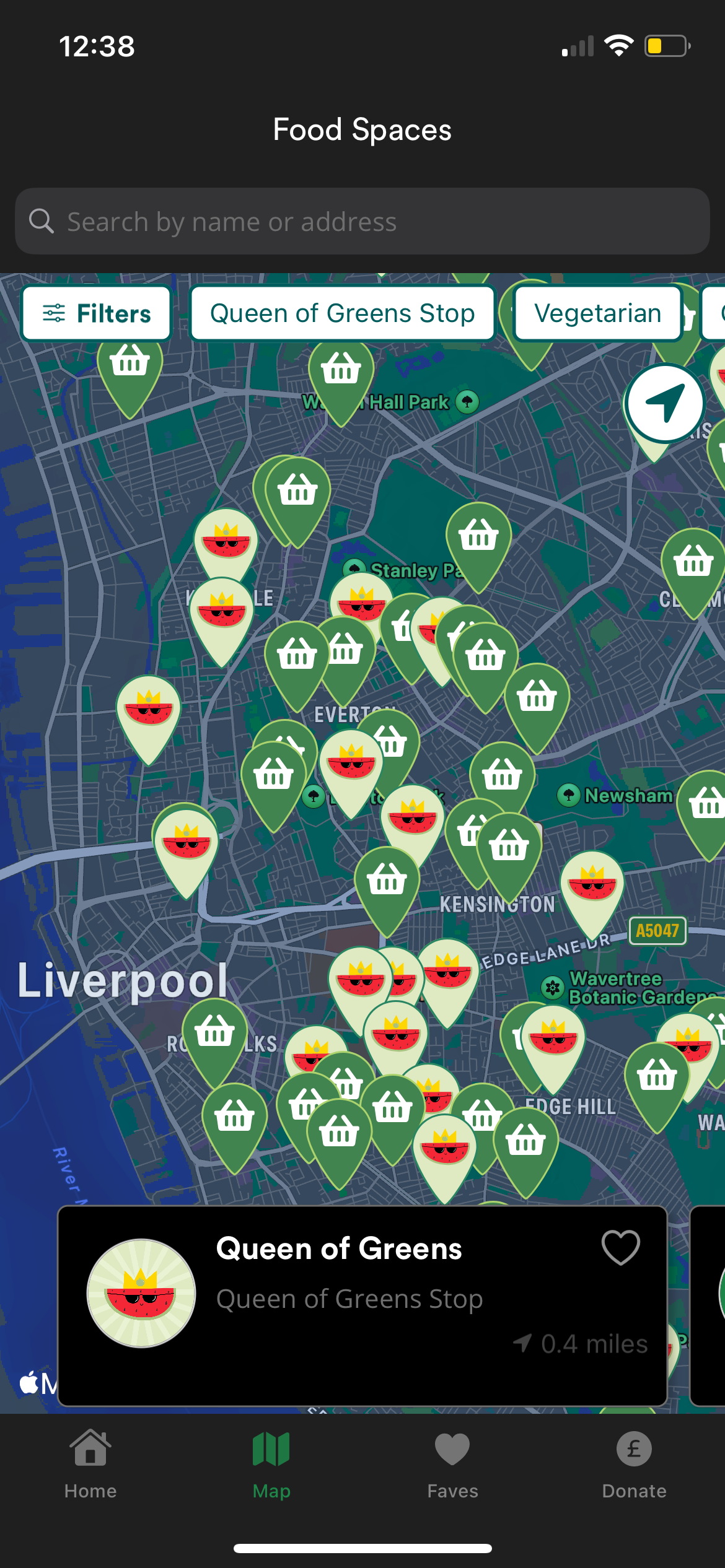
Community Food Spaces Map: On the home page of the app, there is a direct link to the Community Food Spaces Map, which allows you to search for the closest food space to your current location. It also provides more information about each food space, the directions to get there and their contact information.
Queen of Greens Bus Stop Map: There is also a map of the Queen of Greens, a mobile greengrocer that stops across Liverpool and Knowsley. Just as with the Community Food Spaces Map, you can also search for the closest stop to your current location.
NHS Healthy Start Scheme: You can click this icon on the app’s home page to find out more about the scheme and how to apply for it.
Crisis Food Support: You can click this icon on the app’s home page to find out more about what crisis support is available in Liverpool.
News and Events: Feeding Liverpool share updates from across the sector and reguarly coordinate events. Keep an eye on these pages to find out what’s happening near you.
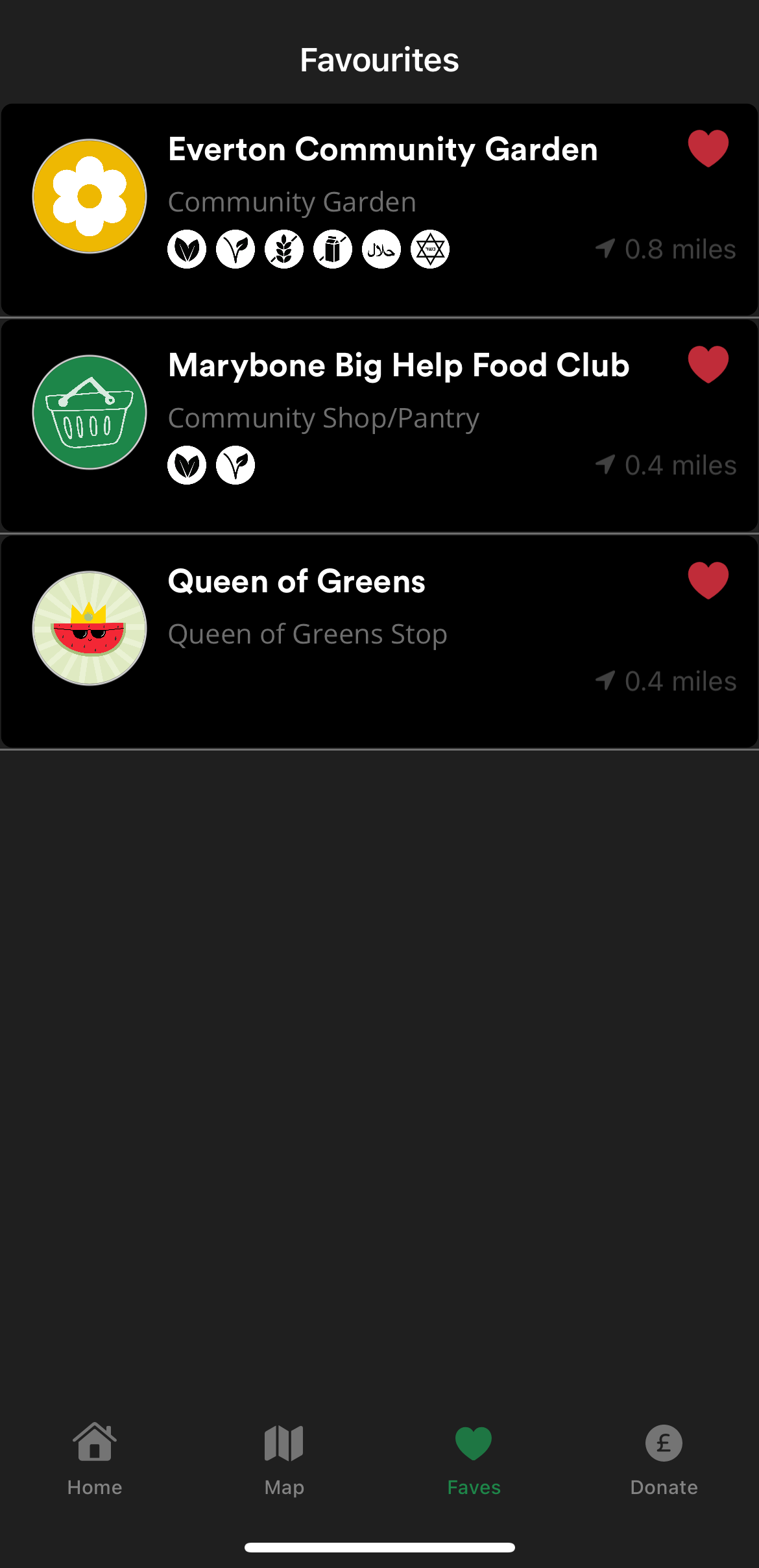
Favourites: You can favourite your local Community Food Space by clicking on the heart icon at the bottom of the page. Your favourites are then saved for future reference so that you can easily find them again in the future.